New Survey Menu
Ready to make a difference
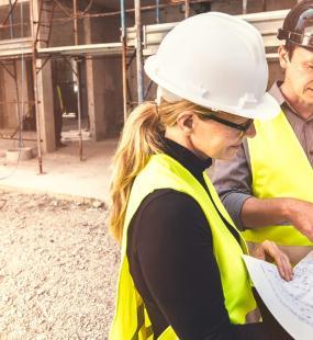
Our brand-new risk control survey menu offers three different and innovative ways to carry out a survey, no matter when and where.
We can also complete a 360° digital walk-through of premises using the latest camera technology.
Why’s it important?
It’s important to articulate and showcase a risk’s best features and focus on areas that would concern underwriters the most. These cost-effective solutions help visualise risks to insurers as well as provide all the information that an underwriter needs to put forward the best terms possible.
Who’s it for?
Our new survey solutions are designed for businesses that:
- Have a poor claims experience.
- Operate in high-risk industry sectors such as food, manufacturing, printing, storage, warehousing and recycling.
- Want to identify areas of concern ahead of renewal.
- Want to obtain the best insurance terms.
Our surveys
What is it?
£495 + VAT
By having access to remote and digital survey capability, we can now undertake a comprehensive virtual inspection, without the need to visit premises in person. Through a desktop-based live video conference survey, led by a risk control specialist, we can survey premises, capture images and videos and obtain up-to-date risk information.
Annotated images are pulled into a comprehensive risk control survey report that includes information on business profile, processes and activities, trade fire hazards, premises description, construction class, health and safety management and other risk features.
The remote risk survey benchmarks your approach to your property, business interruption and liability risks and how you manage them day to day. This provides insurers with greater knowledge of your approach to the risk and management controls in place.
Who is it for?
This digital inspection is tailored to small to medium-sized businesses, operating from single-site premises.
What is it?
A traditional property, business interruption and liability survey, which mirrors the format that insurers routinely commission.
Our on-site asset surveys provide insurers with greater knowledge of your approach to the risk and management controls in place. They also give details of Estimated Maximum Loss (EML), including factors such as fire separation and protection.
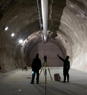
The on-site survey software allows us to complete a 360° digital walk-through of premises using the latest camera technology.
Our solutions:
Commercial
£750 + VAT
Our standard Commercial survey is designed for single-site location premises up to £20m Total Sum Insured (TSI) in respect to material damage and £12m gross profit.
Bursary
£975 + VAT
In addition to undertaking a Commercial survey, this review includes a risk consultant view of where to best deploy, or ask for, a risk management bursary. It provides you with an independent view of how to improve risk controls in place and reduce your exposure. Typically suited for larger commercial risks and clients.
Bespoke
Price on application
Suitable for larger and complex risks, or where risk consultancy is required to help placement and risk understanding. Recommended for those that sit outside the scope for a Commercial survey due to size or scale.
What is it?
Drone surveys are quick, useful and cost-effective methods of obtaining information and data to support you and your insurer.
Our drone inspection services provide unparalleled viewpoints on risk using aerial photography. The most common drone data outputs are in the form of photogrammetry and computer-generated 3D interactive models. Surveys can also include thermographic and infrared to detect damp, energy and heat loss. With this software we can deliver high-quality still images and videos, thermal imaging and land elevation models. Ultimately, this is a unique way to bring to life a difficult-to-understand or complex risk to an insurer.
Why do it?
Drones can do and see things that traditional survey techniques can’t. Our new aerial drone survey solutions can rapidly uncover key risk features with the use of market-leading software and data analytical solutions.
Who's it for?
Businesses whose buildings have hidden or hard-to-reach areas by conventional survey techniques, or where access cost becomes prohibitive.
Our solutions:
These aerial survey solutions provide three levels of features, so you can choose the most suitable for your business.
Basic Drone Survey
£675 + VAT
The drone technology captures aerial views and basic raw video media with still pictures on properties up to 7,500m². It also provides a visual depiction of the site and includes an orthomosaic (flat mosaic).
3D Interactive Survey
£1,675 + VAT
Images are presented in a 3D interactive tool, allowing users to zoom in on any area of the building with clarity. The 3D modelling survey also includes a tool where any surface or area can be measured to calculate dimensions and square footage to an accuracy of 50mm.
Bespoke Survey
Price on application
Features include:
- Digital Terrain – this ground modelling feature details land elevations, enabling insurers and underwriters to understand the height of any surrounding landscape to an accuracy of 20mm.
- Flood Prediction – includes assumptions based on the event of flood and to what extent.
- Thermal Imagery – highlights risks such as underground leaks, overheating machinery and failing parts.
- Normalised Difference Vegetation Index (NDVI) – uses light reflection to pinpoint crop failure and similar risks.


